Seats for the whole team
Commercial licenses cover as many devices as your team needs, and every seat gets the full Professional and Creator toolkit.
AguaceroWx for teams
Commercial and University licenses put every forecaster, producer and student on the same platform, with seats for everyone, watermark-free on-air graphics, a shared library, APIs and your own data on the map.
Trusted by teams at



Built for
The problem
They work well for one person. A station, a forecasting team or a classroom needs more than that.
Individual plans are signed in on one device at a time, so a shared login breaks down across a desk and a shift.
Creator exports carry the AguaceroWx watermark. That's fine for a channel, not for a station's air.
Proprietary grids, client sites and field feeds live in separate tools from the weather you forecast with.
What organizations get
A Commercial license is more than more seats. It is a direct line to the team building AguaceroWx.
Commercial licenses cover as many devices as your team needs, and every seat gets the full Professional and Creator toolkit.
No AguaceroWx watermark or default logo on broadcast output and exports. Your headers, logos and alert headers instead.
Custom headers, layers and your broadcast logo are shared across your team's accounts, so every graphic matches.
We plot your proprietary grids and feeds next to ours, with the same styling, loops and tools. We have already built customer layers such as site warnings and fleet GPS tracking.
Weather, Image, Visualization and Broadcast (KML/KMZ) APIs for your website, apps and graphics systems.
Ask for datasets, variables and workflow changes. Business customers help set the roadmap, with priority support from the team that writes the code.
Customers
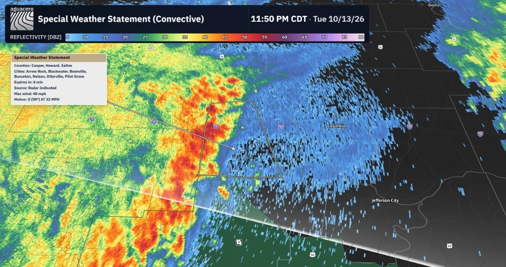
Weather companies, a university and an energy company run their teams on the same platform you are looking at.
Energy
Forecast graphics and interactive weather briefings from one workspace.
Weather services
Customer locations and proprietary datasets as private custom layers, plus a SiteWarn integration built for their team.
University
Mizzou students get AguaceroWx through a university license tied to their verified school email.
AguaceroWx provides everything I've long wanted in a weather platform. It brings historical, real-time, and forecast weather data together in a single interface with customizable visualization capabilities. Whether I'm creating forecast graphics or delivering interactive weather briefings and presentations, it's become an invaluable part of my workflow.

For broadcast
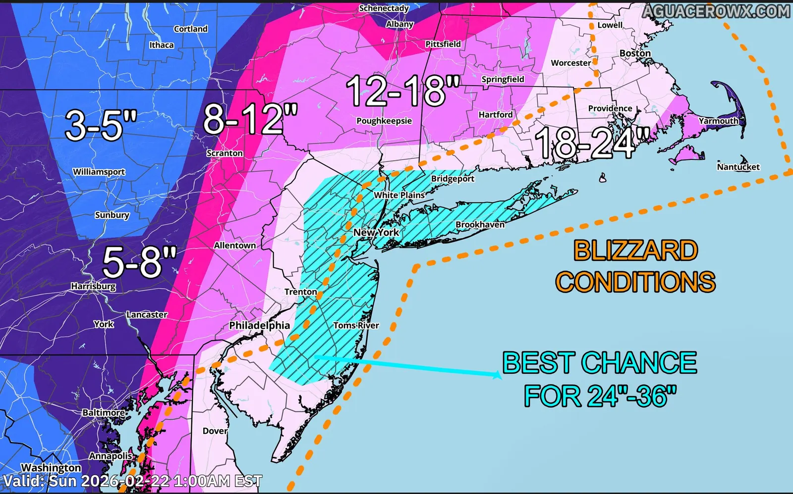
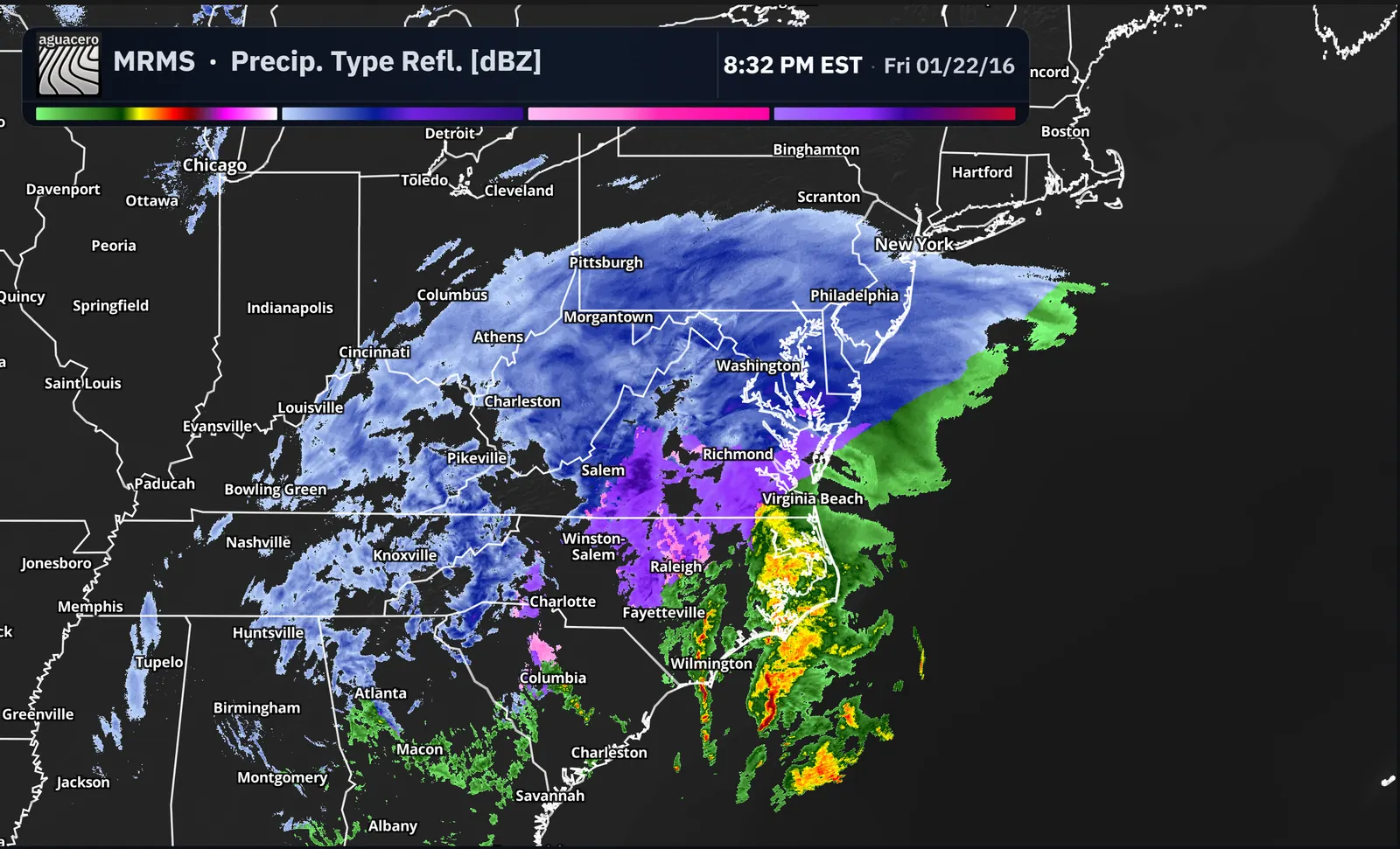
No separate graphics package to keep in sync. Build the look once and every forecaster on the desk uses it.
AguaceroWx brings the full power of weather forecasting right to the browser... The customizations are a crucial aid to my daily work as a broadcast meteorologist.

Beyond broadcast
01
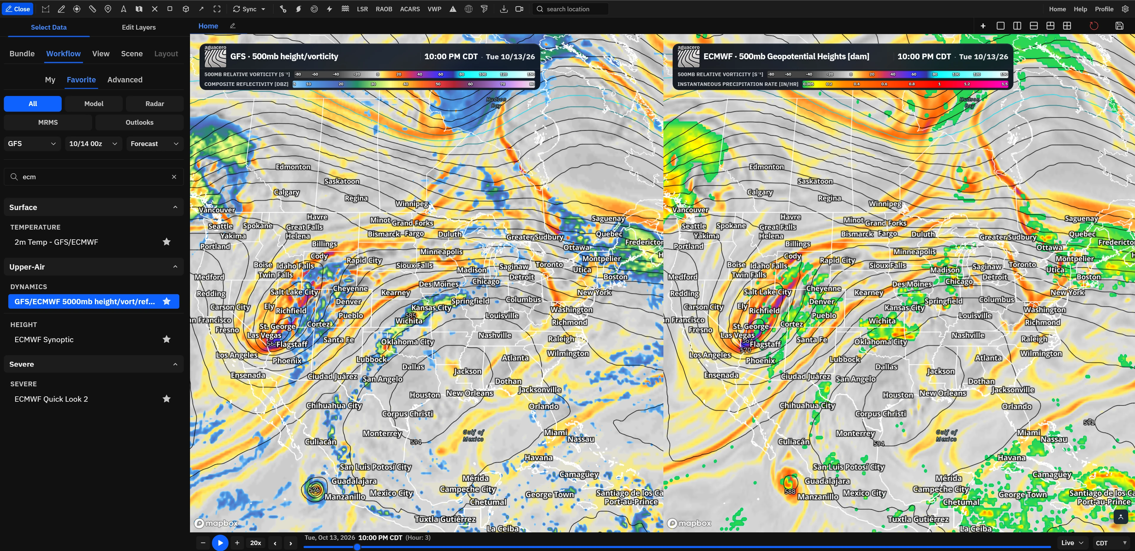
Give every forecaster the same models, radar and layouts, and turn them into client products.
02
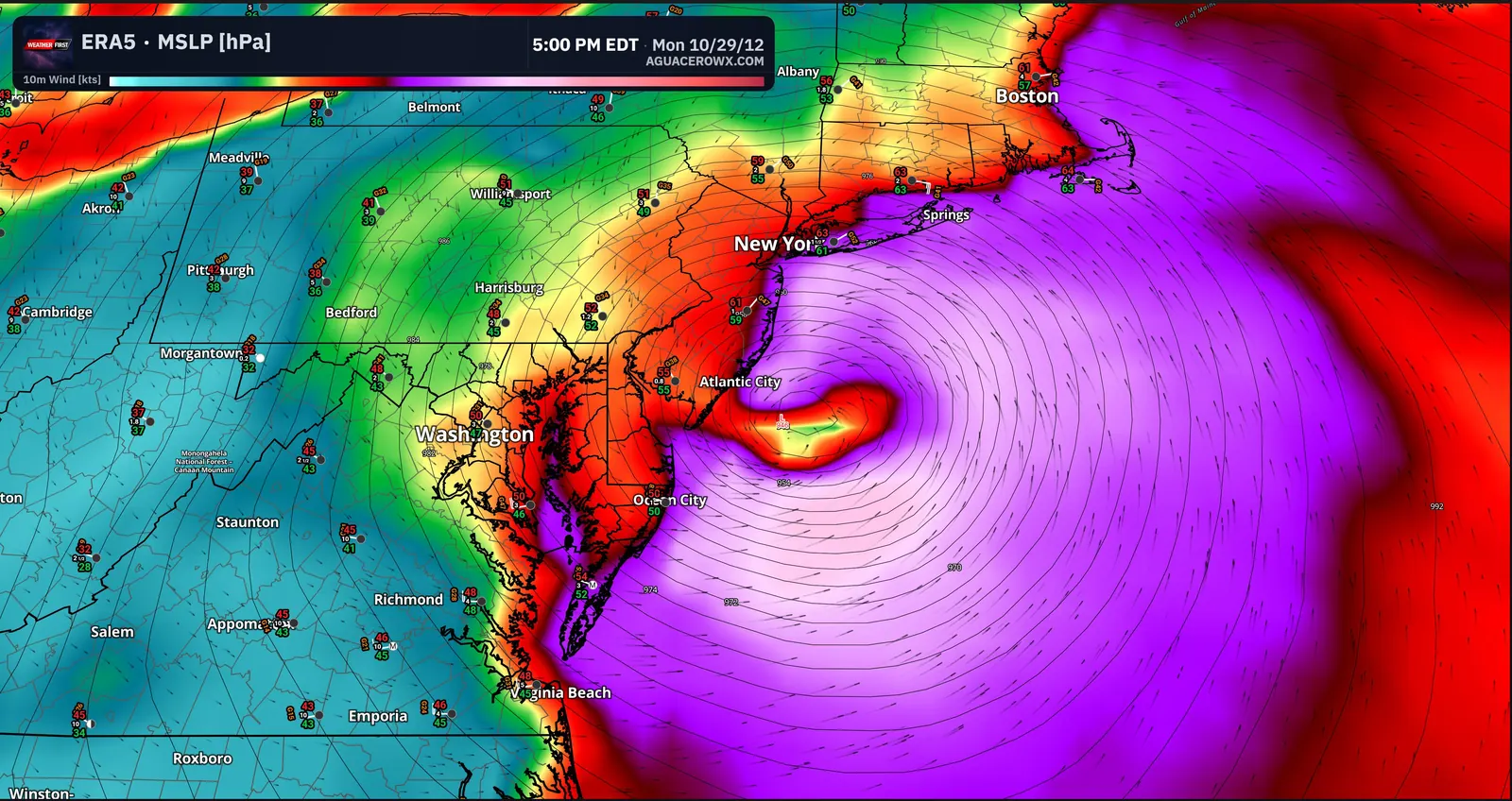
One site license for classrooms, labs and student weathercasts.
03
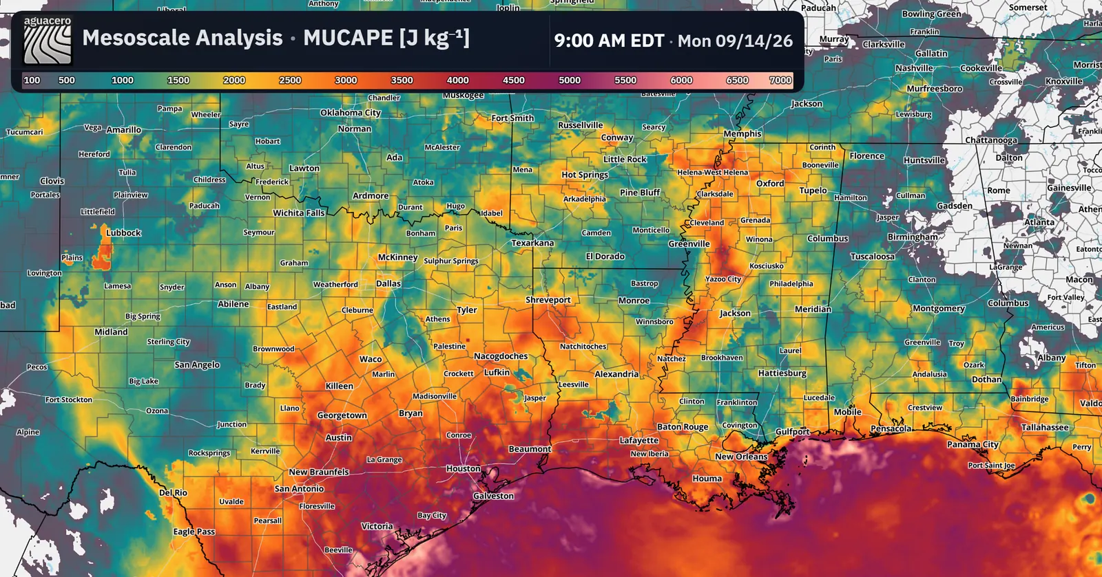
Ship weather in your own product with the data and rendering behind AguaceroWx.
Licenses
All three include every Professional and Creator feature. Here is what changes.
| Feature | Creator | Commercial | University |
|---|---|---|---|
| Price | $29.99/month per person | Custom quote | Discounted |
| Built for | One streamer or creator | Stations, companies, organizations | Meteorology departments |
| Professional and Creator features | |||
| Devices signed in at once | 1 | As many as you need | As many as you need |
| No AguaceroWx watermark | |||
| Shared org library and logo | |||
| Your proprietary data on the map | |||
| Custom features and integrations | |||
| APIs | Separate API plans | In your contract | Separate API plans |
How it works
Team size, the data you rely on, and whether you also need APIs or KML for your graphics.
Seats, data integrations and any custom work, written up as a concrete proposal.
Your team tries it on live days before you roll it out.
Priority support and a roadmap your requests feed into.
Talk to us
Team size, the data you care about, and whether you need APIs or KML. We reply with a concrete proposal.
support@aguacerowx.comFAQ
Commercial is quoted for your organization: seats, data integrations, APIs and any custom work. Tell us your team size and what you need and we'll send a proposal.
Yes. Commercial removes the AguaceroWx watermark and default logo from broadcast output and exports. Creator and University exports keep it.
Individual plans are signed in on one device at a time. Commercial and University licenses cover as many devices as your team needs.
Yes. Proprietary grids and feeds can be plotted in AguaceroWx with the same tools as our data. We scope each integration with you as part of the contract.
Yes. The University site license is discounted and covers classrooms, labs and student weathercasts.
Every individual paid plan starts with a 7-day free trial, and for organizations we can set up a pilot for your team.
Yes: the Weather, Image, Visualization and Broadcast APIs. Weather, Image and Visualization have free monthly tiers anyone can start on, Broadcast is quoted, and Commercial contracts can include API access.