Load GOES satellite
Every ABI band from GOES-East and GOES-West, over CONUS, the full disk and the mesoscale sectors.
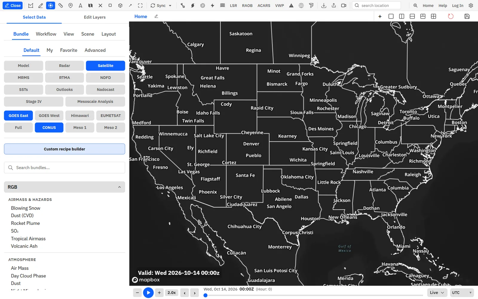
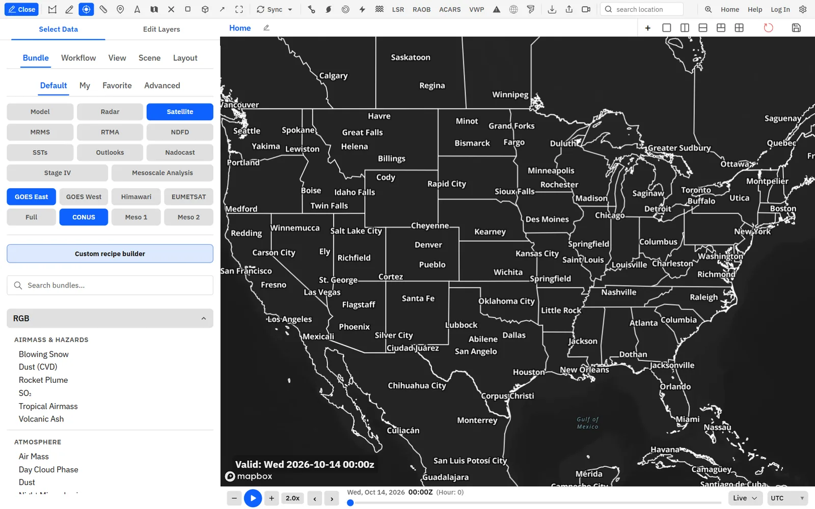
Show me in the app- On Select Data, click Satellite in the data type filter. Press F1 first if the sidebar is closed.
- Click GOES East or GOES West.
- Pick a sector, such as CONUS, Full or Meso 1.
- Click a bundle in the list to load it.
Tips
- With a satellite bundle loaded, clicking another satellite or sector moves it there and flies the map to it.
- To add one band, open Edit Layers, click Add Layer, then Satellite, a sector and a band.
- Right-click the map and choose Nearest satellite to add the clean longwave infrared band for the sector under the cursor.
GeoColor and RGB recipes
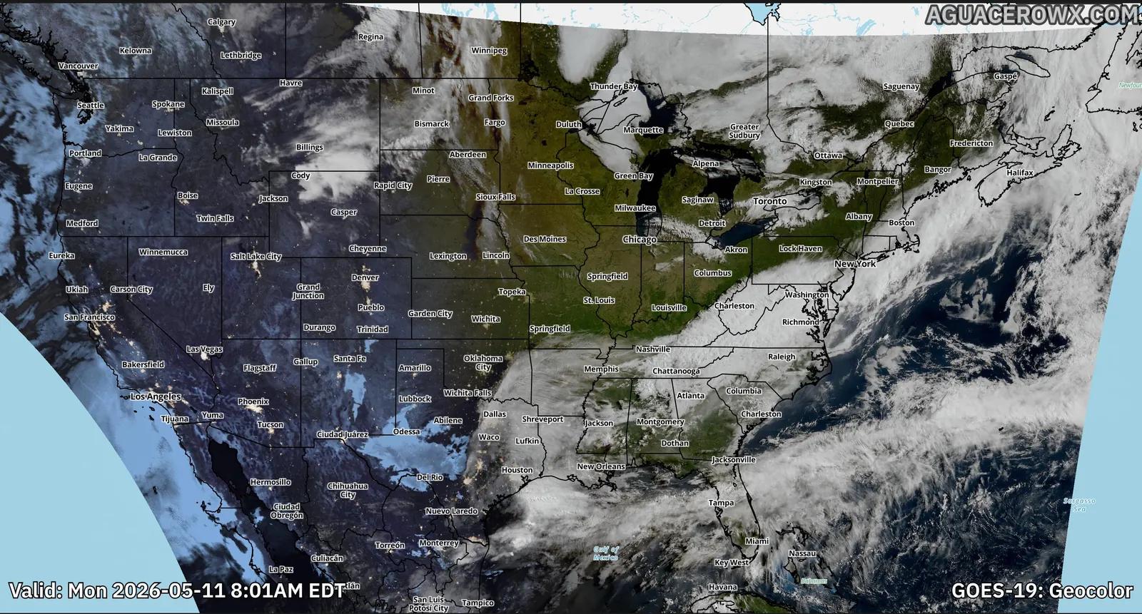
Ready-made composites such as GeoColor, Air Mass, Sandwich, Day Cloud Phase Distinction, Day Convection, Nighttime Microphysics, Dust, Fire Temperature and Day Snow-Fog.
Show me in the app- Click the Edit Layers tab in the sidebar.
- Click Add Layer, then Satellite.
- Click a sector, such as GOES-EAST CONUS.
- Pick a product under Natural Color, Day RGB, Night & Microphysics, Airmass & Hazards or Water Vapor RGB.
Tips
- Geocolor, True Color and Sandwich are under Natural Color. Air Mass, Dust and Fire Temperature are under Airmass & Hazards.
- Click the info icon next to a product to read what it shows.
GLM lightning
Flashes from the GOES Geostationary Lightning Mapper, filtered by time and energy, with an optional strike counter.
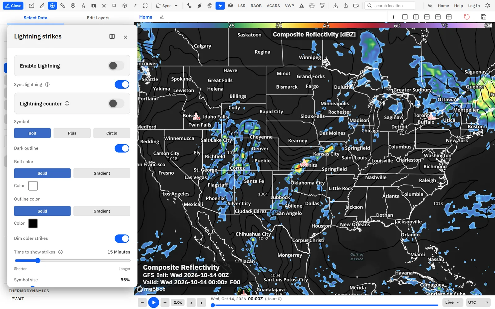
Show me in the app- Single-click Lightning on the toolbar to open Lightning strikes.
- Turn on Enable Lightning.
- Drag Time to show strikes to set how many minutes of flashes stay on the map.
- Drag Minimum flash energy toward High energy only to hide weaker flashes.
- Turn on Lightning counter for a running count of the strikes on the map.
Tips
- Double-click Lightning to turn it on or off without opening the settings.
- Turn on Sync lightning to switch lightning on or off in every panel at once.
Custom IR and water vapor color tables
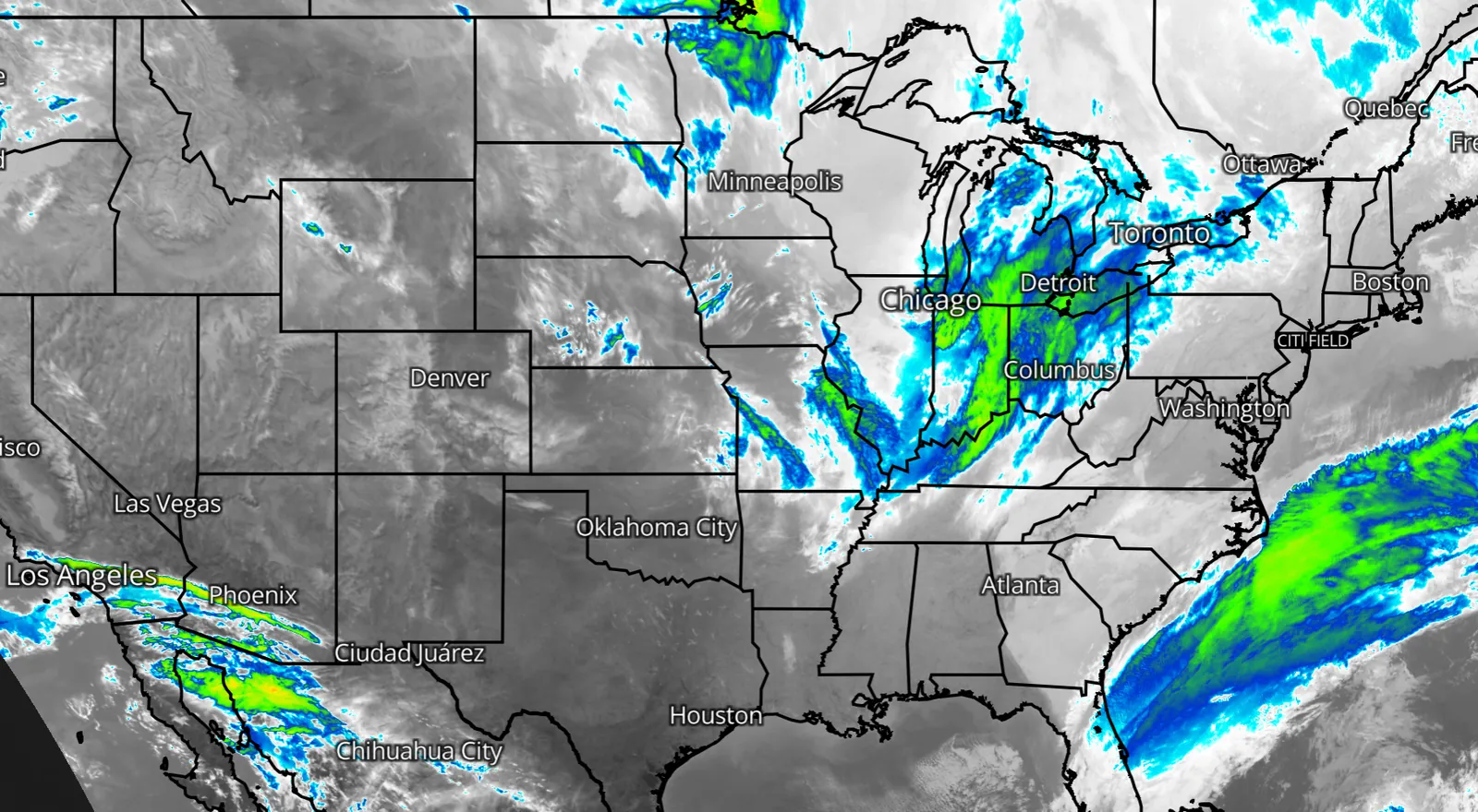
Restyle infrared and water vapor bands with your own colors and value ranges.
Show me in the app- Load an infrared or water vapor band, such as Clean Longwave Window (Band 13).
- Click the Edit Layers tab, then Edit Layer on the satellite layer.
- Change the colors and breakpoints in the colormap editor.
Tips
- To use your colors every time, open Settings > Data > Satellite and edit the band there.
Infrared and water vapor bands need Enthusiast or higher.
Himawari-9
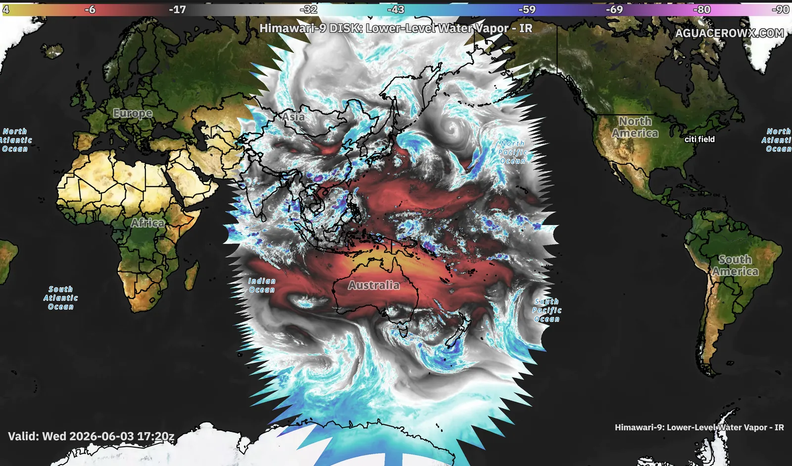
The western Pacific, Asia and Australia, with the same bands and products as GOES.
Show me in the app- On Select Data, click Satellite in the data type filter.
- Click Himawari.
- Pick Full Disk, Japan or Target.
- Click a bundle in the list to load it.
EUMETSAT: Europe, India and Rapid Scan
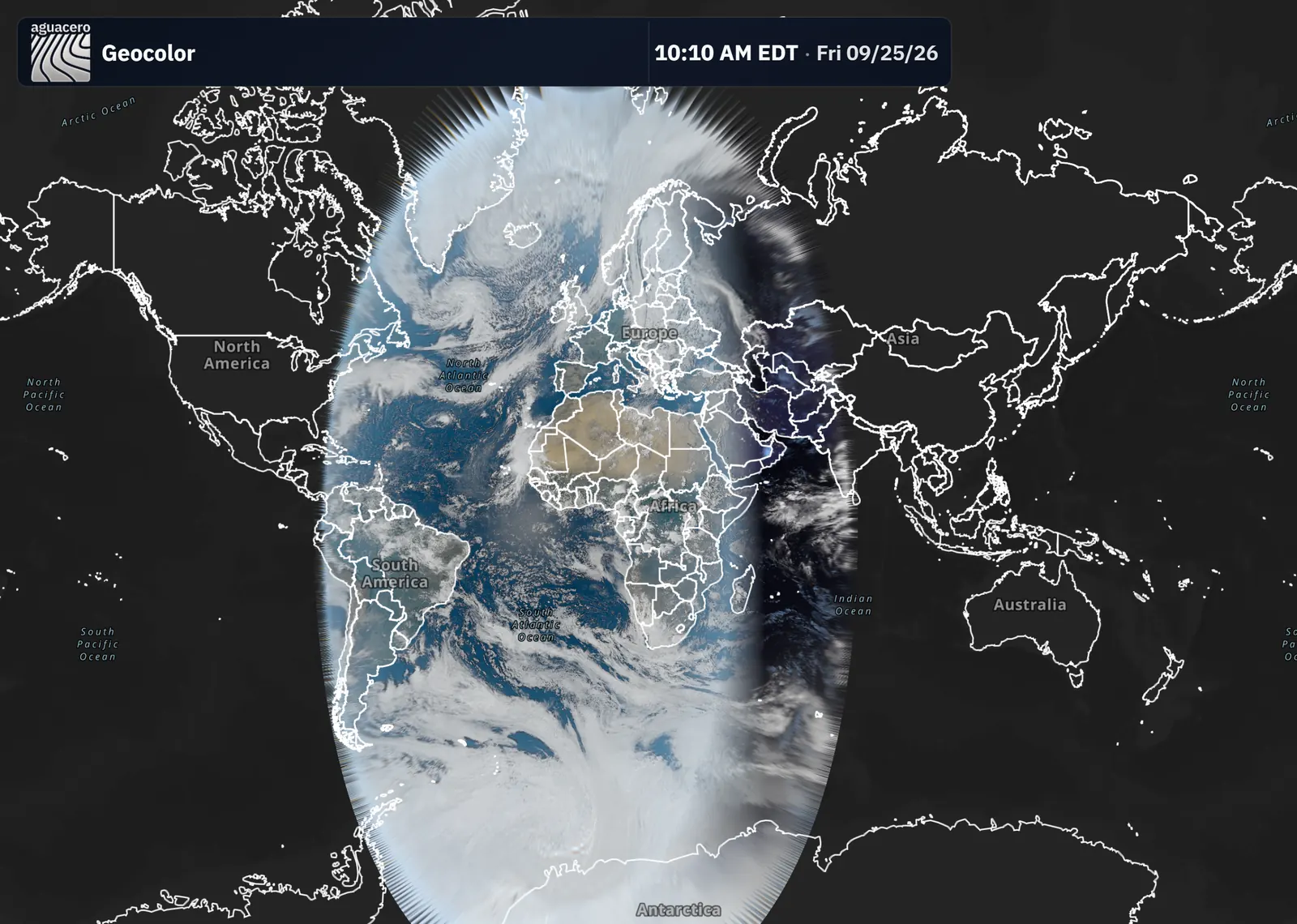
Meteosat over Europe and Africa, the Indian Ocean and the Rapid Scan sector, with the products you know from GOES.
Show me in the app- On Select Data, click Satellite in the data type filter.
- Click EUMETSAT.
- Pick Full Disk, Europe or India.
- Click a bundle in the list to load it.
Tips
- The Rapid Scan sector is in Add Layer > Satellite on the Edit Layers tab.
Native-resolution satellite
Imagery loads at native resolution as you zoom in, down to 0.5 km for the GOES red visible band.
Show me in the app- On the Edit Layers tab, click Add Layer > Satellite and pick a GOES sector.
- Click Red (Band 2) under Visible.
- Zoom in on the area you want. Finer detail loads as you zoom.
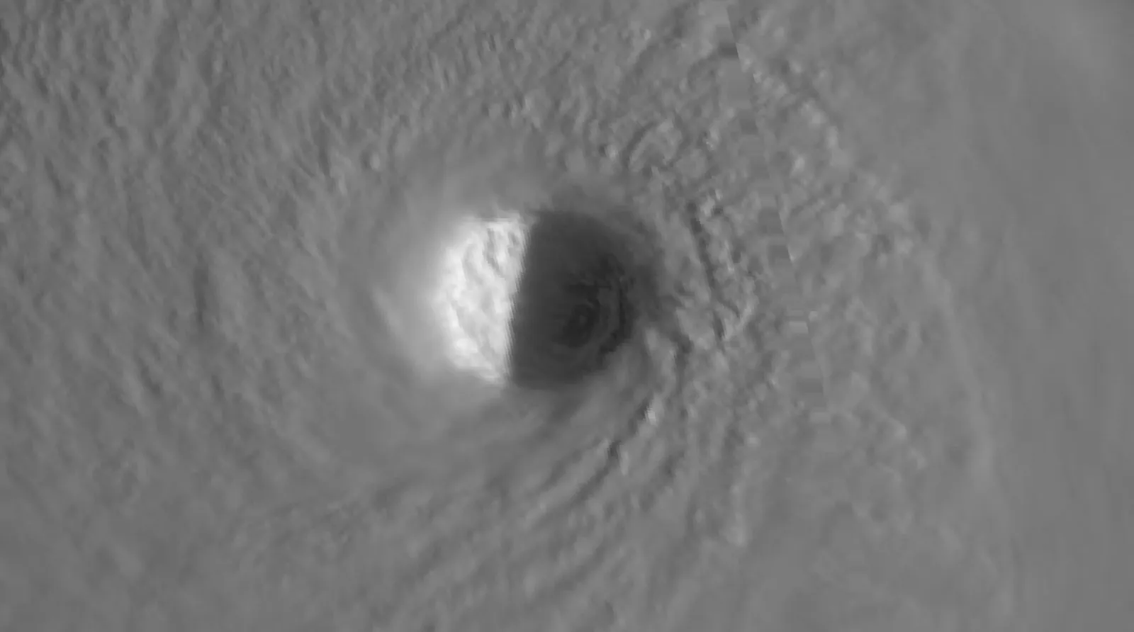
Satellite recipe builderProfessional
Build your own composite from single bands, with day and night stacks, stretch, gamma and color mix, then load it on the map and save it.
Show me in the app- On Select Data, click Satellite in the data type filter.
- Pick a satellite and a sector.
- Click Custom recipe builder.
- Under Day channels or Night channels, click Add channel until you have at least two different bands.
- Set each band’s Channel color, Stretch and Gamma.
- Click Load to draw the recipe.
- Click Save, enter a Name and Category, and click Save again.
Tips
- With both day and night bands, Auto blends them by sun angle. Manual uses one mix for the whole image.
- Leave Private checked to keep a recipe out of Advanced search.
- Saved recipes are in Add Layer > Satellite > Custom Recipe.
A board holds one satellite layer. If one is already there, edit that layer to load a recipe.
3D satelliteProfessional
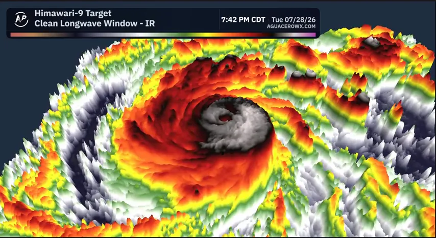
Raise infrared cloud tops in 3D, so colder, higher clouds stand taller.
Show me in the app- Load a single band, such as Clean Longwave Window (Band 13).
- Click the Edit Layers tab, then Edit Layer on the satellite layer.
- Tick 3D cloud tops.
- Drag Height to set how tall the clouds stand.
- Right-click and drag on the map to tilt the view.
Tips
- If the cloud tops stay flat, turn on Allow 3D effects in Settings > Performance.
3D works on single bands. RGB composites stay flat.